- Acronym
- SeaL Data
- Code
- PNRA18_00175
- Anno
- 2018
- Research area
- Earth science
- Specific research topic
- Study of millennial sea level changes in Antarctica
- Region of interest
- Terra Nova Bay, Antarctica; Anatartic Peninsula
- Project website
- https://www.dst.unipi.it/webgisSeal_data
- PI
- Matteo Vacchi
- PI establishment
- Department of Earth Sciences, University of Pisa
- Institutional website
- https://www.dst.unipi.it
- Other institutions and subjects involved
- Department of Earth and Geoenvironmental Sciences
- Consistency of the research team
- 3 professors (2 men 1 woman); 5 associate professors (3 men, 2 women; 2 postdocs (1 man, 1 woman)
- Project status
- In progress
- Main stations used
- Attività svolta in Italia
- The project
The period following the 'last glacial maximum represents the last time window characterized by natural climate and temperature variability. Its study can therefore provide important information for understanding the climate-sea-level relationship before anthropogenic alteration of climatic conditions. The Antarctic Ice Sheet (AIS) represents the largest potential source of future sea-level rise, but the past and future rates of progressive melting of these ice masses are currently difficult to quantify. In fact, our current knowledge of the progressive melting of this ice sheet since the last glacial maximum is currently limited by the lack of data that standardizes the temporal and vertical uncertainties of paleo sea levels in Antarctica.
The SeaData project aims to comprehensively analyze the variability of sea level evolution along the Antarctic coast and, in particular, to try to analyze the contribution of isostatic rebound in different sectors of the continent.
These data are crucial for understanding the contribution of the Antarctic ice sheet to sea level rise both in the past and with regard to the future in the context of climate change. Indeed, to date it is still unclear what the contribution of the Antarctic ice sheet to 2050 and 2100 may be in the context of climate change.
- Images
-
-
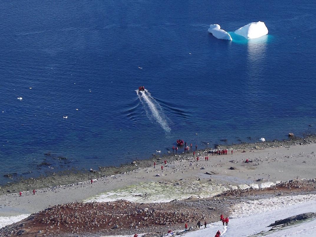
Beach ridge in the Antarctic peninsula
-
-
- Motivation, importance of research
The research is part of a larger project that aims to analyze, globally, the evolution of sea level over the past millennia and, in particular, in the period before 1850 (i.e., before the significant increase in free CO2 in the atmosphere due to the industrial revolution).
The project will then analyze, in a standardized manner, available data of sea changes during the postglacial period (last 21000 years). These data are generally derived from radiocarbon dating of paleo beaches, marine terraces, and progressively isolated basins.
All data will be analyzed following recent international standards for producing paleo sea levels. All C14 dates will be recalibrated in light of recent calibration curves released in 2020.
In addition, a new set of radicarbon dates will be produced on samples collected during several Antarctic expeditions over the past 10 years. These data will help to strengthen the quality of sea level evolution data especially in the Ross Sea area and the Antarctic Peninsula.
Finally, an open source webgis will be developed in the QGis environment that will allow access to the data repository. These data will be available to the international scientific community working on sea level evolution in Antarctica.
- Objectives of the proposal
Thus, the goal of the project is to create the first standardized database of sea paleo-levels on the Antarctic continent. The project is structured along 3 main axes: i) the compilation of a standardized database using data available in the bibliography and joined by a series of new analyses on data sampled in previous Antarctic expeditions; ii) the use of the new data, divided into regions, in order to implement models of isostatic adjustment and coastal evolution; and iii) the development of a Gis to make the new dataset available to the scientific community.
Thus, the database proposed in this project is an essential tool not only for defining AIS melt rates but also for improving our knowledge on the variability of isostatic adjustment across the continent and better defining the past and future contribution of AIS to global sea-level changes in response to climate variations.
- Activities carried out and results achieved
Compilation of an open source gis containing information on paleo sea levels in the Antarctic Peninsula
Development of a database of paleo sea levels in the Ross Sea region through critical analysis of already published data and dating of new samples collected during several expeditions over the past 10 years
Definition of a spatiotemporal statistical model to reconstruct the isostatic contribution to sea level evolution in the Ross Sea region
- Products
Il gis cartografico in versione geopackage QGis è disponibile per tutti. Per riceverlo scrivere un'email a matteo.vacchi@unipi.it
La versione webgis verrà messa online alla fine del progetto.